EchoTrace · Underwater tracking
EchoTrace
A precise solution for tracking an underwater object
Overview
The EchoTrace system is the easiest to use and, at the same time, the most precise solution for tracking an underwater object
The system requires no calibration and no integration: simply place the autonomous EchoTrace Tag beacon on the underwater object (ROV, AUV, diver, etc.), and four navigation buoys, EchoTrace Buoy, on the surface of the water. This configuration lets you track the underwater object's movement in 3D in real time: absolute geographic coordinates and depth
What it does
- Real-time tracking of an underwater object's position (divers, ROVs, AUVs, etc.)
- Determining the underwater object's course
- Assistance in guiding the underwater object to a surface control point and back
How it works
Navigation and voice communication
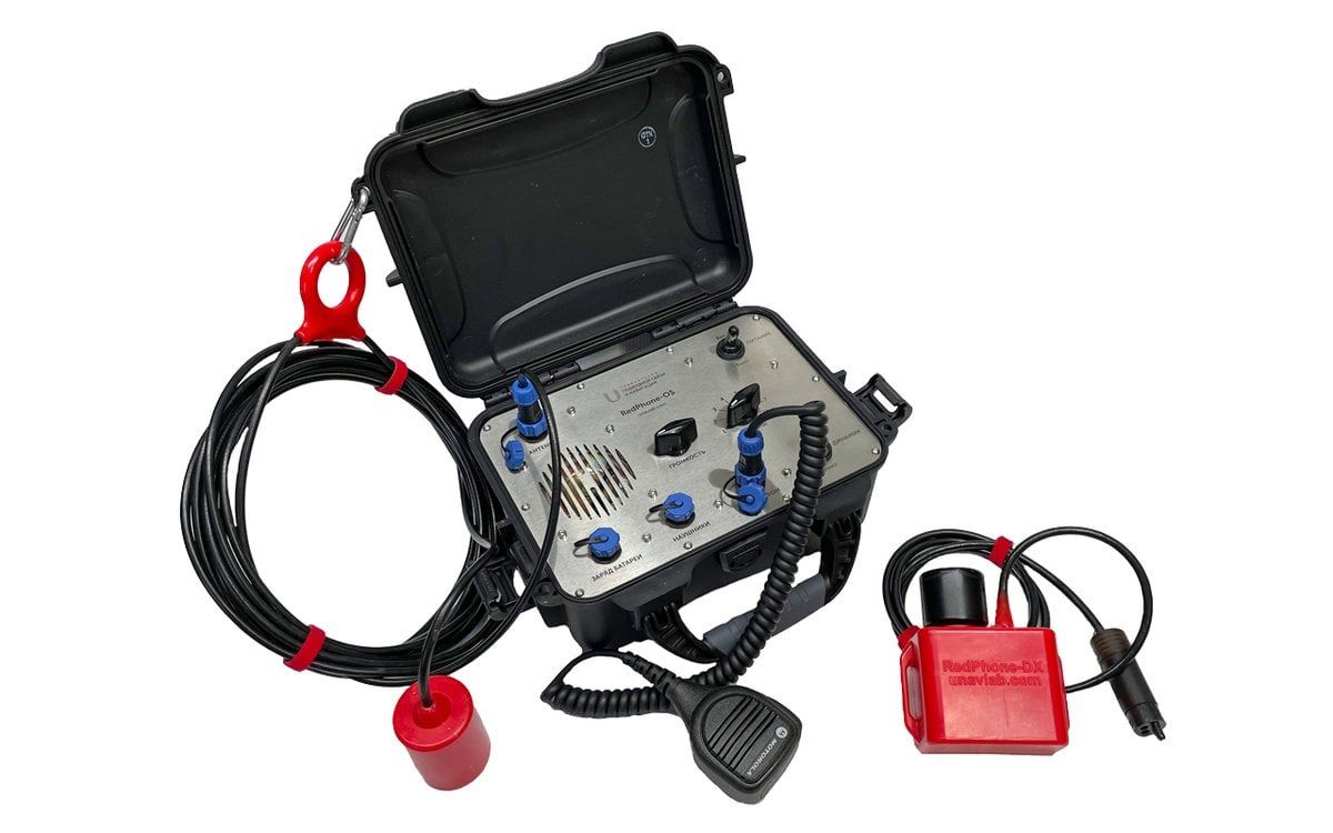
A distinctive feature of the system is that it can use the SubVox Diver diver telephone station as a pinger, combining two-way voice communication and navigation.
When working with a pinger, the RF Dongle navigation receiver emulates the protocol of standard GNSS receivers, and can be connected to any software that displays a GNSS receiver's position on a map, such as Google Earth, SAS.Planet, etc.
System composition
The minimum system composition is four EchoTrace Buoy hydroacoustic buoys and one transmitting device, depending on the task:
- If the diver needs navigation data along with voice communication, the SubVox Diver diver telephone station is used as the transmitting device. The diver's geoposition is determined the moment they release the PTT button, i.e. when they finish a voice transmission
- If you need to locate a remotely operated vehicle (ROV) or a diver without voice communication, the EchoTrace Tag beacon is used. The pinger operates autonomously, and the geoposition of the object it is mounted on is updated every two seconds
When working with a pinger
Simply connect the navigation receiver to any chartplotter that supports NMEA0183 RMC and GGA messages. In this mode you get:
- the geographic position of the object the pinger is mounted on
- the object's course
The open-source uNav application additionally shows:
- the positions of the navigation buoys and the charge of their built-in power sources
- the course and range to a reference point: one of the four buoys, the built-in RF Dongle navigation receiver, or a point with arbitrary coordinates
- water temperature
- the pinger's supply voltage
When working with SubVox Diver diver stations
This requires the open-source uTrackDiver application. It shows the positions of up to 255 divers, determined at the end of each voice transmission from the diver.
Distinctive features
- Operation in absolute geographic coordinates
- A floating base of four hydroacoustic buoys can track both the EchoTrace Tag beacon and the SubVox Diver diver telephone station
- No preliminary setup or calibration of the system or its components is required
- No data link is required between the object and the pinger: the pinger is mechanically mounted on the underwater carrier
- The calculated position of the underwater object is passed to third-party software over a serial port using the NMEA0183 protocol
- Recording of the underwater object's movement track
Geometric limitations
- From each buoy to every other buoy there should be no more than 1500 meters and no less than 30 meters
- The buoys should be arranged in a convex quadrangle so that its sides are approximately equal and differ by no more than 2 times
- The maximum diving depth of the pinger should not exceed the dimensions of the navigation base
- The greatest accuracy of the system is achieved within the buoy figure, and operation should always begin within this figure. Going beyond the figure is possible, but accuracy may decrease significantly as the positioned object moves away from the buoy figure
System components
EchoTrace · device
EchoTrace Buoy
Four EchoTrace Buoy buoys form a floating navigation base with no calibration or setup — just place them on the water and switch them on
Key features
- High-performance combined GPS/GLONASS receiver
- Rugged, durable, highly visible housing
- Automatic activation in water
- Long battery life — up to 24 hours
- Reliable, interference-resistant digital broadband hydroacoustic communication technology
- Relays telemetry from the EchoTrace Tag — depth, water temperature and battery voltage
- Operates at a distance of 30 to 1500 m from other buoys in the set
The EchoTrace Buoy navigation hydroacoustic buoy is the foundation of the EchoTrace system: a set of four buoys forms a floating navigation base and provides positioning for the EchoTrace Tag beacon or the SubVox Diver diver's telephone station.
The buoys operate at a distance of 30 to 1500 m from each other, are equipped with a combined GPS/GLONASS receiver, and require no setup — simply place the buoys on the surface of the water and switch them on.
The device follows a float-and-fin design with no air cavities or controls: it switches on automatically when submerged in water and automatically switches off when removed from the water. The housing is light and strong, and is easily replaced if mechanically damaged.
The buoy resists interference even in shallow water thanks to broadband digital hydroacoustic communication technology. The working temperature range is from -10 to +50 °C.
How EchoTrace Buoy works
When developing EchoTrace Buoy, we drew on our experience designing and operating the flagship AsterGrid system. The principle is similar — a set of four buoys forms a floating navigation base and provides positioning for the pinger.
Key characteristics
Easy to use — one person in a small boat can deploy and retrieve the navigation base. Reliable and durable — the buoy housing is light and strong, and is easily replaced if mechanically damaged. Resistant to interference even in shallow water thanks to broadband hydroacoustic communication technology. Wide working temperature range — from -10 to +50 °C.
How to buy EchoTrace Buoy
The EchoTrace system requires four EchoTrace Buoy navigation buoys. Send a request and we will send you a detailed commercial offer.
| Dimensions (Ø x h) | 130 x 1350 mm |
|---|---|
| Weight (dry) | 3.7 kg |
| Excess buoyancy | 1 kg |
| Carrier frequency | 20050 Hz |
| Battery life | 12 hours |
| Max. relative speed to the pinger | ± 1.8 m/s |
| Working temperature range | -10 .. 50 °C |
| Max. acoustic communication range | 3000 m |
| Max. allowed distance to other buoys from the set | 1500 m |
| Min. allowed distance to other buoys from the set | 30 m |
| Reference ellipsoid | WGS-84 |
| Built-in battery type | LiFePO4 |
| Built-in battery capacity | 76 Wh |
| Height above water (fresh water) | 730 mm |
| Draft (fresh water) | 1655 mm |
| Transducer cable length | 960 mm |
| Built-in RF unit type | GFSK, 433 MHz |
| Built-in RF unit power | 100 mW |
| Max. radio range | 1000 m |
EchoTrace · device
EchoTrace Tag
A fully autonomous device for robots, divers and even fish — just attach it to the object
Key features
- Requires no integration — only mechanical attachment to the positioned object
- Maximum ease of maintenance
- Automatic activation in water
- Minimal dimensions and weight
- Relays telemetry — depth, water temperature and battery voltage
- Operates at depths of up to 300 m, with an acoustic communication range of up to 1500 m
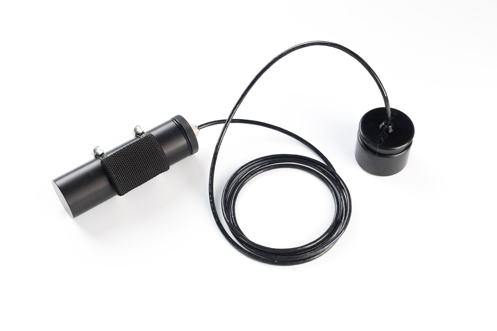
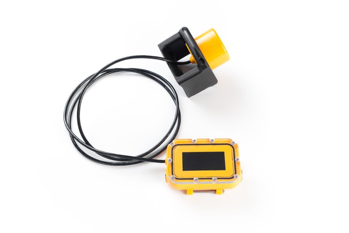
The EchoTrace Tag navigation beacon of the EchoTrace system is mounted on the positioned object — a ROV, AUV, diver or other underwater platform — and emits a periodic navigation signal received by four floating EchoTrace Buoy buoys. The signal is used to determine the pinger's geographic position, while telemetry transmitted alongside the navigation signal shows its depth, water temperature and battery voltage.
The pinger requires no integration with the carrier — to get started, simply attach it to the underwater object. The device switches on automatically when submerged in water.
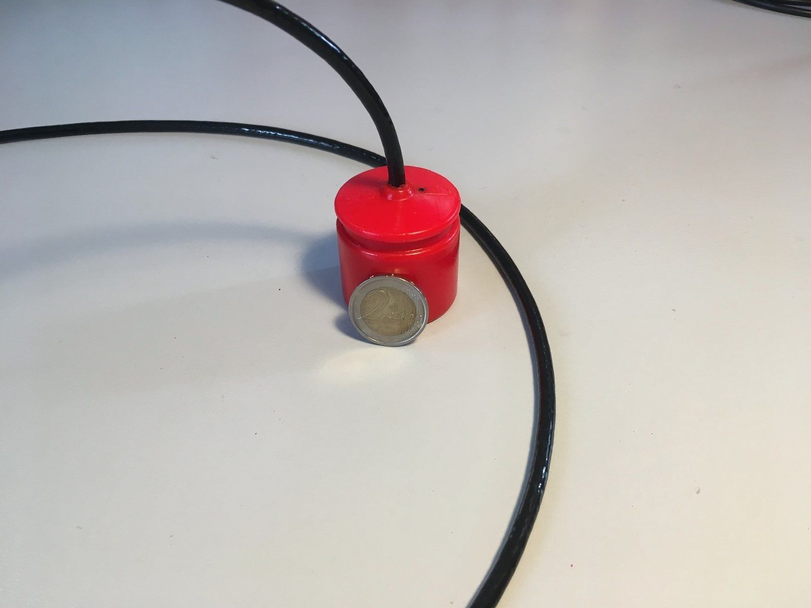
Compact: housing diameter and height — 41×45 mm, weight without the battery pack — 0.16 kg (about 0.91 kg complete with the standard SB-24-48-LF battery pack, according to the source materials). Battery life — up to 10 hours, working depth — from 0.5 to 300 m.
| Dimensions (w/o battery pack, Ø x h) | 41 x 45 mm |
|---|---|
| Weight (dry, w/o battery pack) | 0.16 kg |
| Standard battery pack | SB-24-48-LF |
| Battery life | 10 h |
| Carrier frequency | 20050 Hz |
| Acoustic transmission period | 2 seconds |
| Navigation signal duration | 0.2 seconds |
| Telemetry | Depth, temperature, supply voltage |
| Max. acoustic communication range | 1500 m |
| Max. acoustic source level | 160 dB re 1 μPa @ 1 m |
| Max. relative velocity to buoys | ± 1.8 m/s |
| Depth rating | 300 m |
| Working temperature range | -10 .. 50 °C |
| Battery pack charging | By the supplied mains cradle |
Request a quote
Configure the EchoTrace system for your task
Tell us about your project and we will help you specify the right EchoTrace configuration and quantity, and send a commercial offer.
- hello@seaguild.ae
- Phone
- +971 55 107 3725
- Office
- Office 403–404, Dubai Hills Estate Retail
Sheikh Mohammed Bin Rashid Gardens
Dubai 3190, United Arab Emirates