AsterGrid · Underwater GPS
AsterGrid navigation system
A reliable way to precisely determine the geographic position and depth of underwater objects in real time
What it does
- Works with an unlimited number of underwater objects at the same time
- Requires no setup or calibration before startup
- Suitable for use even in shallow water bodies
- Delivers navigation data in 3D, in real time
- Extremely compact size and low power consumption
How it works
How “underwater GPS” will change the way you work
We have addressed every problem you have already run into, or are likely to. Most comparable systems, for example, only track underwater objects one at a time. That seriously limits your ability to track several divers or robots in the same area. Another issue is complex setup and inevitable interference in shallow water, which most comparable systems cannot handle.
AsterGrid outperforms nearly every alternative in ease of use and reliability
Simpler than ever
The system is designed to be as easy to use as possible. Deploying the system and connecting any of its parts takes a single button press — no preliminary setup or calibration is required
No limits, for the first time
The system works on the same principle as satellite navigation and provides precise, simultaneous tracking of an unlimited number of objects when diving in any body of water, even in shallow water. It operates like GPS/GLONASS, but without a radio signal, which is useless underwater. You get accurate, interference-free coordinates for divers and robots, and the whole system is compact enough to fit in a small case — anyone can operate it, even without special training!
Purpose of AsterGrid
The AsterGrid system is designed to obtain the precise location of various underwater objects:
- divers and technical divers;
- manned submersibles;
- remotely operated vehicles (ROVs);
- autonomous underwater vehicles (AUVs).
How AsterGrid is used
Use the system simultaneously for an unlimited number of divers or controlled underwater objects
Upload waypoints and plan diver navigation along a pre-built route
Get 3D navigation data on object positions
Save the current position data for objects
Record the movement tracks of objects
All system functions are available with no extra setup or calibration: just switch the system on and start getting position data!
AsterGrid system configurations
The system's logic is simple: the required base (4 AsterGrid Buoy navigation units) plus AsterGrid Nav diver navigators or AsterGrid Node robot navigators. AsterGrid Buoy buoys are placed on the surface of the water body and form a navigation base that determines the coordinates of an unlimited number of underwater objects at the same time!
System for providing divers with navigation data
- AsterGrid Buoy – acoustic navigation relay buoy. Four units required.
- AsterGrid Nav – diver's navigator for determining the diver's geographic position without surfacing.
System for locating other underwater objects
- AsterGrid Buoy — acoustic navigation relay buoy. Four units required.
- AsterGrid Node – navigation receiver for determining its own coordinates, emulating the protocol of standard GNSS receivers.
Key advantages
AsterGrid is a system that works on the principle of high-precision satellite systems, applied to underwater objects. We call it “underwater GPS”.
- Real-time operation in absolute geographic coordinates
- Compact system
- Simple PC connection
- No setup or calibration required for the system or its individual parts – the system is ready to work in any configuration
- Low power consumption
- High accuracy regardless of where the navigation receivers are positioned within the base
System components
AsterGrid · device
AsterGrid Buoy
Forms a navigation base for divers and underwater vehicles
Key features
- A AsterGrid Buoy set forms a navigation base over an area of 700 by 700 m
- Works for 24 hours without recharging!
- Extremely easy to use: switch on before work and switch off afterwards, no setup or calibration required
- Operates at temperatures from -2 to +50 °C
- Compact: the buoy measures just 15 by 60 cm, yet remains visible from a distance
Just 4 AsterGrid Buoy navigation buoys provide a navigation base for any number of divers and underwater vehicles
AsterGrid Buoy — the foundation of the AsterGrid system
The key advantage of a navigation base built on AsterGrid Buoy is ease of use. Even if this is your first time using such a device, you will easily deploy the system in any water area without prior training. Simply place 4 buoys in a rectangle, 30 to 700 m apart, and the floating navigation base is ready to use — with no limit on the number of connected objects!
AsterGrid Buoy works equally well for surveying bodies of water of any size, including shallow water.
Unique features of a system built on the AsterGrid Buoy navigation buoy
Interference-resistant technology
The entire system uses reliable, interference-resistant broadband hydroacoustic communication technology. This guarantees high signal quality and accuracy without interference, even under difficult conditions in shallow water.
Simple and reliable operation
No prior setup or calibration required. The device is so easy to use that one person can deploy the whole system. A small single-seat boat is enough to lower the buoys into the water, and one person is enough to switch them on. The device is ready to work immediately!
Efficiency
Just 4 AsterGrid Buoy buoys are enough to create a floating navigation base and simultaneously position an unlimited number of divers or robots.
How to buy the AsterGrid Buoy navigation buoy
AsterGrid Buoy can be purchased as part of the AsterGrid system, in sets of 4. In addition, for registered users we supply buoys as replacements in case of loss or damage. Depending on your tasks, the system will be equipped with AsterGrid Node and/or AsterGrid Nav units.
| Dimensions (Ø x h) | 125 x 790 mm |
|---|---|
| Weight (dry) | 3.8 kg |
| Redundant buoyancy | 1 kg |
| Battery life | 48 hours |
| Max. allowed distance to other buoys from the set | 700 m |
| Min. allowed distance to other buoys from the set | 30 m |
| Max. relative velocity to receivers | +/- 1.8 m/s |
| Reference ellipsoid | WGS-84 |
| Built-in battery type | LiFePO4 |
A navigation systems expert will respond to your request
AsterGrid · device
AsterGrid Node
Now you can get precise coordinates for any number of objects, even in shallow water!
Key features
- Requires no setup or calibration
- Extremely simple integration with PCs and mapping devices — the protocol is the same as in standard GNSS receivers
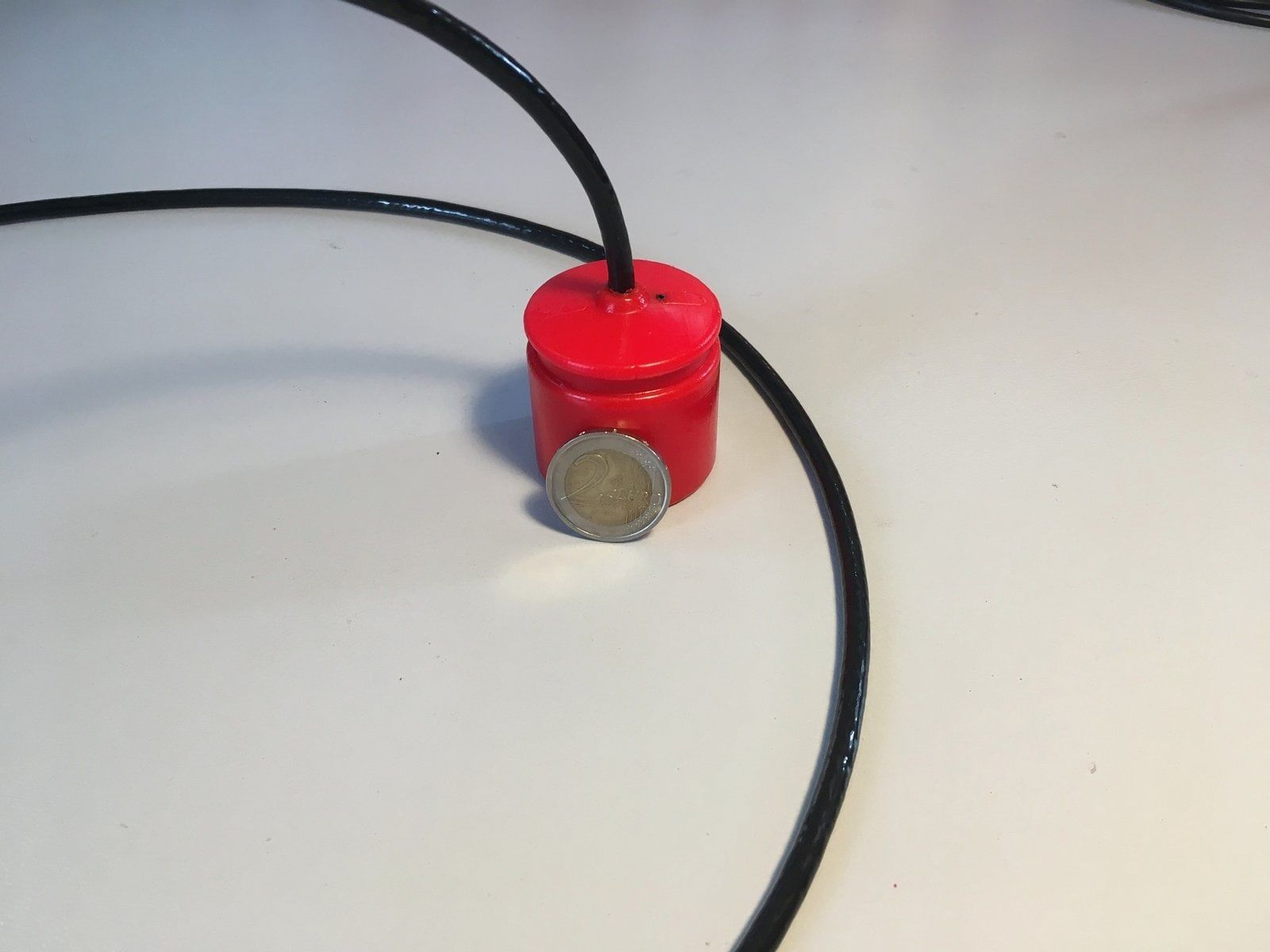
- Compact device — 64×62 mm
- Transmits the object's 3D position in absolute geographic coordinates
- Extremely low power consumption — 12 V, 75 mA
- Interference protection even in shallow water
The AsterGrid Node navigator is part of the AsterGrid system. It was created specifically to determine the coordinates of underwater objects in water bodies of any complexity.
How AsterGrid Node works
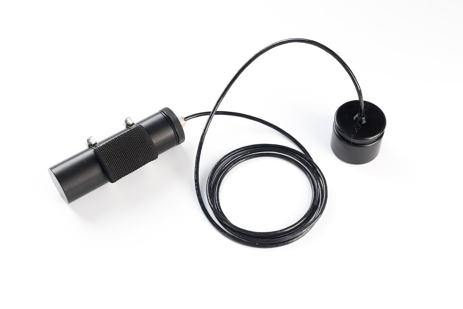
The device receives hydroacoustic signals from AsterGrid Buoy buoys as part of the navigation system. The navigator determines the geographic coordinates of objects and transmits them to the robot's control system or via cable to the surface.
Simple to use
The device integrates extremely easily with virtually any underwater platform. Apply power — and get precise coordinates on every dive over the UART serial interface, with no additional setup or calibration!
Reliable operation even in difficult conditions
- A special digital broadband communication technology protects against interference even in shallow water
- Precise coordinates for any number of objects in any water area
- You get object coordinates in 3D format with an update rate of 1 Hz.
How to buy the AsterGrid Node navigator
The AsterGrid Node navigator can be purchased as part of the AsterGrid system, or in addition to a previously purchased AsterGrid kit.
| Dimensions (remote unit, Ø x h) | 64 x 62 mm |
|---|---|
| Weight (dry) | 0.3 kg |
| Supply voltage | 12 V |
| Power consumption | 0.35 W |
| Max. relative velocity to buoys | +/- 1.8 m/s |
| Depth rating | 300 m |
| Max. size of working area | 700 x 700 m inside the buoy polygon |
| Reference ellipsoid | WGS-84 |
| Nominal horizontal accuracy (2DRMS) | 0.84 m |
| Nominal depth accuracy | 0.1 m |
| Nominal position update rate | 1 Hz |
| Pairing interface | UART, 9600 |
| Communication protocol | NMEA0183 (RMC, GGA, WTW) + extended message set |
Leave a request and we will send you a detailed commercial offer
Other systems
Request a quote
Configure the AsterGrid system for your task
Tell us about your project and we will help you specify the right AsterGrid configuration and quantity, and send a commercial offer.
- hello@seaguild.ae
- Phone
- +971 55 107 3725
- Office
- Office 403–404, Dubai Hills Estate Retail
Sheikh Mohammed Bin Rashid Gardens
Dubai 3190, United Arab Emirates